
今昔マップ3 のスクリーンショット
<1> 今昔マップ3 - メイン画面

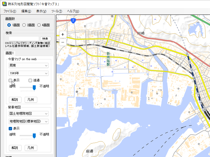
<2> 表示地域を「周南」に

<3> 表示年度を「1949年」に

<4> 国土地理院地図(標準地図)を表示
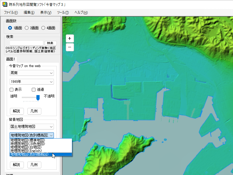
<5> 国土地理院地図(色別表構図)を表示
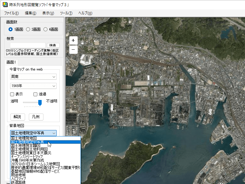
<6> 国土地理院空中写真を表示
<7> 今昔マップ on the web の地図と国土地理院地図の比較

<8> 2画面表示

<9> 4画面表示

<10> 「表示」⇒「連動移動」

<11> 右クリックメニューから「目印追加」をクリック

<12> 「編集」⇒「目印ジャンプ」

<13> 「ツール」⇒「オプション」

<14> 掲載しているスクリーンショットのバージョン情報

